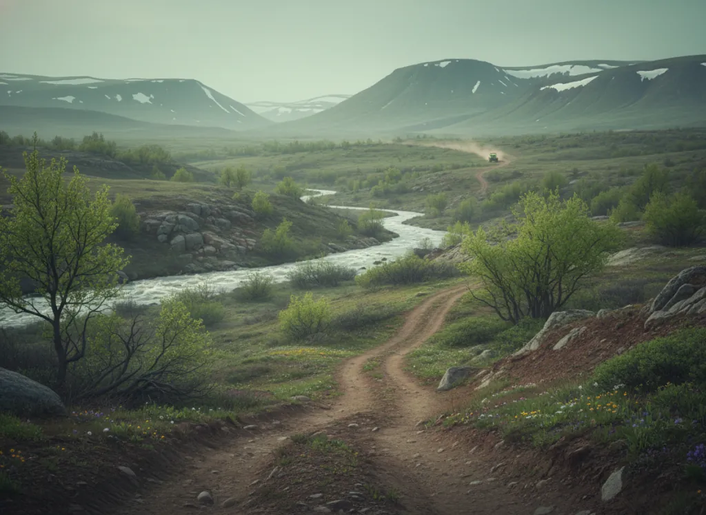
The Carson National Forest encompasses 1.5 million acres of northern New Mexico's most dramatic mountain terrain in Taos, Rio Arriba, Colfax, Mora, and San Miguel counties: the Sangre de Cristo Mountains, Tusas Mountains, Latir Mesa, and the high plateau country of the Taos Plateau volcanic field that together define the northern New Mexico Highlands and the landscape backdrop for Taos, one of the most culturally significant communities in the American Southwest. The OHV trail system operates on designated routes across the forest's six ranger districts, with the Camino Real, Questa, Tres Piedras, and El Rito districts providing the primary riding terrain accessible from the Taos, Espanola, and Chama gateways. The Sangre de Cristo range east of Taos reaches 13,161 feet at Wheeler Peak, the highest point in New Mexico, and the forest roads and designated OHV routes on the western slopes of the Sangres provide the most dramatic riding terrain: climbing from the Taos Valley at 7,000 feet through the piñon-juniper and ponderosa pine woodland to the spruce-fir forest and alpine tundra of the high ridges, with the Rio Hondo and Red River drainages defining the canyon country that OHV routes traverse between the ridge crests. The Tres Piedras and Ojo Caliente districts west of the Rio Grande Gorge provide a second, completely different riding landscape: the high sage plateau of the Taos Plateau volcanic field, open terrain with panoramic views across the Rio Grande canyon to the Sangres on the east and the Jemez Mountains to the south. Taos Pueblo, the living UNESCO World Heritage Site, and the Taos art colony position Carson NF OHV riding within one of New Mexico's strongest tourist corridors. New Mexico OHV registration required. Camino Real Ranger District at Taos (575-758-6200) manages current trail access.
Hours
Accessible approximately May through October; higher Sangre de Cristo routes close under snow. No day-use fee. New Mexico OHV registration required.
Phone
575-758-6200Trip openings, seasonal updates, and the occasional deal, straight to your inbox.
FAQ
Everything you need to know before you get started.
Have a question, or ready to book? Reach out and we’ll get right back to you.